
 | ||
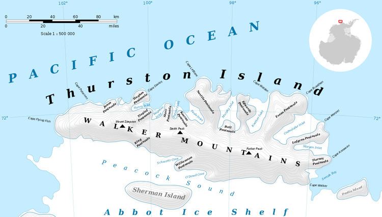
Prickly Ridge (72°31′S 97°34′W) is a rounded ice-covered ridge 4 nautical miles (7 km) west of Shelton Head on the south side of Thurston Island. Belknap Nunatak is the largest outcrop on the ridge. The descriptive name was given by Advisory Committee on Antarctic Names (US-ACAN); small dispersed nunataks rise above the ice surface giving the feature a prickly appearance.
Maps
This article incorporates public domain material from the United States Geological Survey document "Prickly Ridge" (content from the Geographic Names Information System).
References
Prickly Ridge Wikipedia(Text) CC BY-SA