
Length 220 km | ||
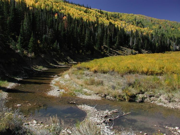 | ||
The Price River is a river in the state of Utah, in the United States. The river originates in the Wasatch Plateau in central Utah and flows southeastward through Price Canyon, alongside U.S. Route 6, to the cities of Helper and Price. The river flows along the northeastern edge of the San Rafael Swell to the ghost town of Woodside, where it proceeds to the east, joining the Green River in Gray Canyon after flowing a distance of 137 miles (220 km). Range Creek is one of its tributaries. The average discharge is approximately 337 cfs.
Map of Price River, Utah, USA
It is generally believed that the Price River was named after LDS Bishop William Price of Goshen, Utah, who explored the region in 1869. The town of Price was later named after the river.
The Scofield Reservoir was formed by the construction of the Scofield Dam in 1946. There are plans to build a second dam on the river, upstream from the Scofield Dam, called the Gooseberry Narrows Dam. The proposal has met with opposition out of concern for environmental impacts on trout fisheries in the Price River headwaters and the planned diversion of the water impounded by the dam out of the Colorado River basin to supplement the irrigation systems of the Sanpete Valley. As a result of the planned dam the Price River was included on the American Rivers list of the top ten endangered rivers in the United States in 2005.
The Price is a small, shallow river and is normally unnavigable. However, during springtime flows, the 23.5 miles (37.8 km) below the Scofield dam to Castle Gate contain Class I to V whitewater. The river has become increasingly popular with canoeists and kayakers.