
Country United States FIPS code 31-40325 Elevation 287 m Zip code 68355 Population 27 (2013) | Time zone Central (CST) (UTC-6) GNIS feature ID 0832391 Area 16 ha Local time Sunday 9:40 AM Area code 402 | |
 | ||
Weather 6°C, Wind NW at 6 km/h, 93% Humidity | ||
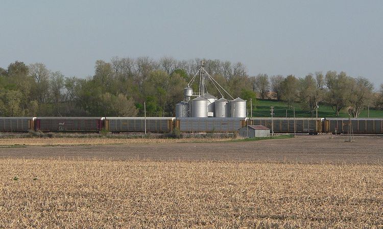
Preston is a village in Richardson County in Southeastern Nebraska, United States. It is located within the Sac and Fox Reservation. The population was 28 at the 2010 census.
Contents
Map of Preston, NE 68355, USA
History
Preston was platted in 1878 when the Atchison and Nebraska Railroad was extended to that point. It was named after Preston, England, the former home of an early settler.
Geography
Preston is located at 40°2′3″N 95°31′3″W (40.034138, -95.517547).
According to the United States Census Bureau, the village has a total area of 0.06 square miles (0.16 km2), all of it land.
2010 census
As of the census of 2010, there were 28 people, 13 households, and 9 families residing in the village. The population density was 466.7 inhabitants per square mile (180.2/km2). There were 14 housing units at an average density of 233.3 per square mile (90.1/km2). The racial makeup of the village was 82.1% White, 14.3% Native American, and 3.6% from two or more races. Hispanic or Latino of any race were 3.6% of the population.
There were 13 households of which 15.4% had children under the age of 18 living with them, 46.2% were married couples living together, 15.4% had a female householder with no husband present, 7.7% had a male householder with no wife present, and 30.8% were non-families. 23.1% of all households were made up of individuals and 15.4% had someone living alone who was 65 years of age or older. The average household size was 2.15 and the average family size was 2.56.
The median age in the village was 50.5 years. 10.7% of residents were under the age of 18; 3.6% were between the ages of 18 and 24; 17.8% were from 25 to 44; 25.1% were from 45 to 64; and 42.9% were 65 years of age or older. The gender makeup of the village was 60.7% male and 39.3% female.
2000 census
As of the census of 2000, there were 50 people, 15 households, and 13 families residing in the village. The population density was 798.5 people per square mile (321.8/km²). There were 16 housing units at an average density of 255.5 per square mile (103.0/km²). The racial makeup of the village was 78.00% White, 16.00% Native American, 6.00% from other races. Hispanic or Latino of any race were 10.00% of the population.
There were 15 households out of which 40.0% had children under the age of 18 living with them, 73.3% were married couples living together, 6.7% had a female householder with no husband present, and 13.3% were non-families. 13.3% of all households were made up of individuals and none had someone living alone who was 65 years of age or older. The average household size was 3.33 and the average family size was 3.54.
In the village, the population was spread out with 38.0% under the age of 18, 32.0% from 25 to 44, 14.0% from 45 to 64, and 16.0% who were 65 years of age or older. The median age was 36 years. For every 100 females there were 92.3 males. For every 100 females age 18 and over, there were 121.4 males.
As of 2000 the median income for a household in the village was $40,625, and the median income for a family was $33,750. Males had a median income of $11,563 versus $15,000 for females. The per capita income for the village was $10,009. There were 8.3% of families and 15.6% of the population living below the poverty line, including 16.7% of under eighteens and none of those over 64.