Barangay Area 54.82 km² | Time zone PST (UTC+8) | |
 | ||
FoundedRenamed 21 June 19694 November 1977 Neighborhoods Basiao, San Jose, Aguining, Baud, Tugas, Bogo, Bonbon, Villa Milagrosa | ||
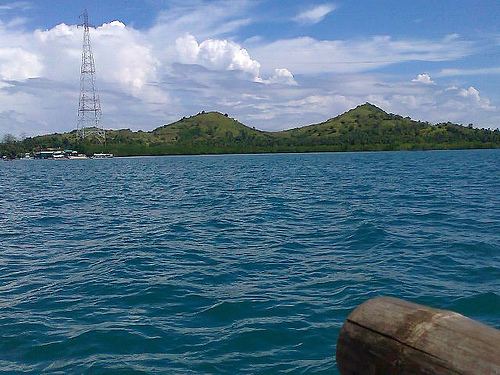
President Carlos P. Garcia is a 4th municipal income class municipality in the province of Bohol, Philippines. It primarily consists of Lapinig Island along with a few surrounding islets. According to the 2015 census, it has a population of 23,356. In the 2016 electoral roll, it had 14,455 registered voters.
Contents
Map of Pres Carlos P Garcia, Bohol, Philippines
History
In the early part of the 19th century, the place was part of the municipality of Ubay, known as Lapinig Grande and subdivided into six barrios: Pitogo, Aguining, Basiao, Bonbonon, Gaus, and Tugas.
Congressman Teodoro Galagar of the 3rd Congressional District of the province of Bohol, initiated the formation of Lapining Grande into a town. Aguining, Pitogo, and Bonbonon were the barangays bidding for township. On 21 June 1969, RA 5864 was approved creating Pitogo as the 46th town of the province of Bohol with 23 regular barangays. Eight years later on 27 October 1977, it was renamed by Presidential Decree 1228 in honour of President Carlos P. Garcia, who was born in nearby Talibon.
Barangays
President Carlos P. Garcia comprises 23 barangays:
Demographics
In the 2016 electoral roll, it had 14,455 registered voters, meaning that 62% of the population are aged 18 and over.
Education
There are 20 elementary schools.
