Area code(s) 334 Elevation 58 m | Time zone Central (CST) (UTC-6) GNIS feature ID 156931 Local time Saturday 4:05 PM | |
 | ||
Weather 17°C, Wind SW at 8 km/h, 92% Humidity | ||
Prairieville is an unincorporated community in Hale County, Alabama, United States.
Contents
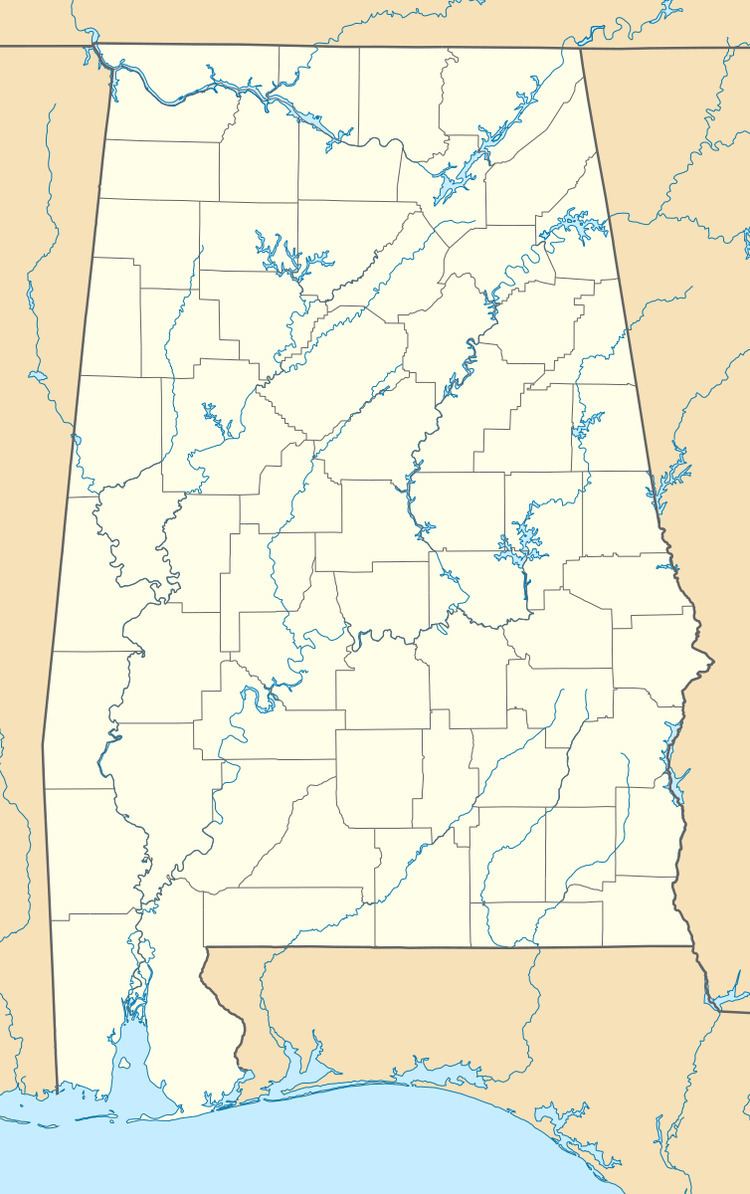
Map of Prairieville, AL 36744, USA
Geography
Prairieville is located at 32.51013°N 87.69445°W / 32.51013; -87.69445. It has an elevation of 190 feet (58 m).
Landmarks
The town is the location of the 1853 Carpenter Gothic style St. Andrew's Episcopal Church, on the National Register of Historic Places and a National Historic Landmark.
Prairieville also has three Plantation houses on the National Register of Historic Places:
References
Prairieville, Alabama Wikipedia(Text) CC BY-SA
