
Time zone CST (UTC-6) Elevation 181 m Local time Saturday 4:04 PM | Established November 7, 1865 ZIP codes 62510, 62550, 62567 Area 94.74 km² Population 449 (2010) | |
 | ||
Weather 18°C, Wind S at 21 km/h, 72% Humidity | ||
Prairieton Township is one of seventeen townships in Christian County, Illinois, USA. As of the 2010 census, its population was 449 and it contained 176 housing units.
Contents
- Map of Prairieton Township IL USA
- Geography
- Cities towns villages
- Unincorporated towns
- Cemeteries
- Major highways
- School districts
- Political districts
- References
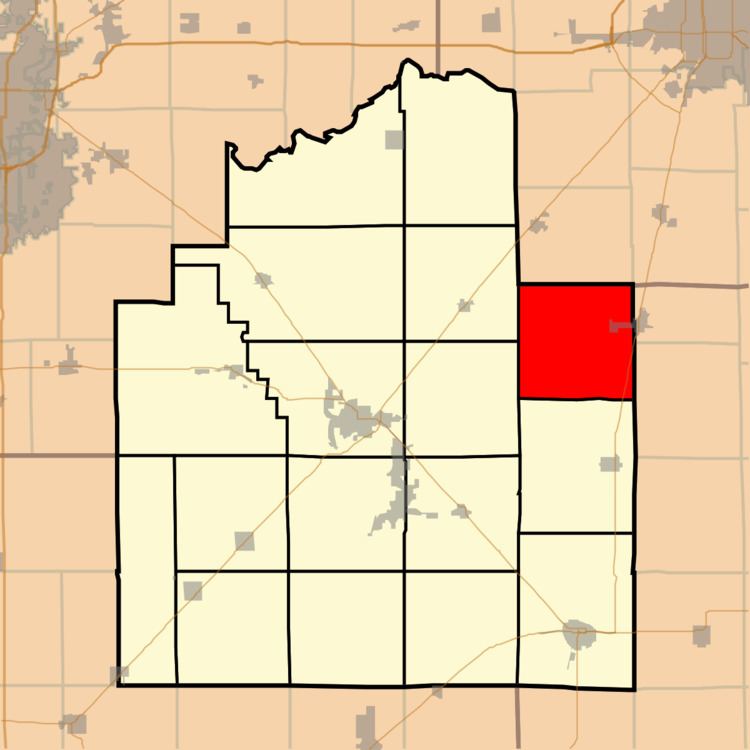
Map of Prairieton Township, IL, USA
Geography
According to the 2010 census, the township has a total area of 36.58 square miles (94.7 km2), of which 36.57 square miles (94.7 km2) (or 99.97%) is land and 0.02 square miles (0.052 km2) (or 0.05%) is water.
Cities, towns, villages
Unincorporated towns
Cemeteries
The township contains these four cemeteries: Adams, Bilyeu, Hayes and Jacobs.
Major highways
School districts
Political districts
References
Prairieton Township, Christian County, Illinois Wikipedia(Text) CC BY-SA