
Time zone CST (UTC-6) Area 85.78 km² Population 380 (2010) | Established September 12, 1854 Elevation 213 m Local time Saturday 3:51 PM | |
 | ||
ZIP codes 62321, 62334, 62341, 62379 Weather 16°C, Wind SE at 11 km/h, 83% Humidity | ||
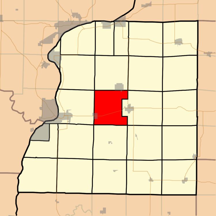
Prairie Township is one of twenty-five townships in Hancock County, Illinois, USA. As of the 2010 census, its population was 380 and it contained 179 housing units. It was formed from Montebello and Carthage townships on September 12, 1854.
Contents
- Map of Prairie Township IL USA
- Geography
- Cities towns villages
- Unincorporated towns
- Cemeteries
- Major highways
- Airports and landing strips
- School districts
- Political districts
- References
Map of Prairie Township, IL, USA
Geography
According to the 2010 census, the township has a total area of 33.12 square miles (85.8 km2), of which 33.07 square miles (85.7 km2) (or 99.85%) is land and 0.05 square miles (0.13 km2) (or 0.15%) is water.
Cities, towns, villages
Unincorporated towns
(This list is based on USGS data and may include former settlements.)
Cemeteries
The township contains Elvaston Cemetery.
Major highways
Airports and landing strips
School districts
Political districts
References
Prairie Township, Hancock County, Illinois Wikipedia(Text) CC BY-SA