
Country United States Time zone CST (UTC-6) Area 105.8 km² Population 594 (2010) | Established November 5, 1867 Elevation 166 m Local time Saturday 3:50 PM | |
 | ||
ZIP codes 62413, 62433, 62442, 62454, 62478 Weather 21°C, Wind S at 27 km/h, 58% Humidity | ||
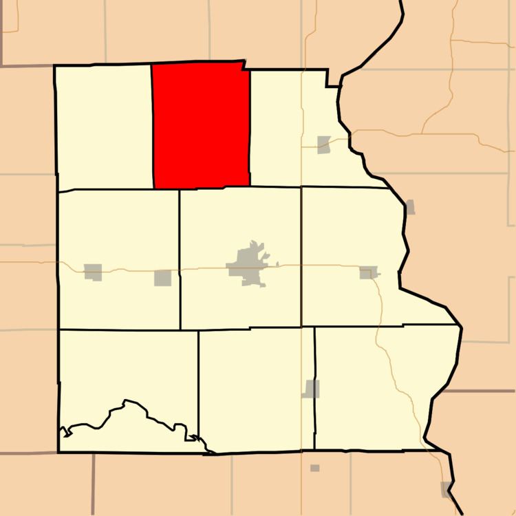
Prairie Township is one of ten townships in Crawford County, Illinois, USA. As of the 2010 census, its population was 594 and it contained 268 housing units.
Contents
- Map of Prairie Township IL USA
- Geography
- Unincorporated towns
- Cemeteries
- School districts
- Political districts
- References
Map of Prairie Township, IL, USA
Geography
According to the 2010 census, the township has a total area of 40.83 square miles (105.7 km2), of which 40.68 square miles (105.4 km2) (or 99.63%) is land and 0.14 square miles (0.36 km2) (or 0.34%) is water.
Unincorporated towns
(This list is based on USGS data and may include former settlements.)
Cemeteries
The township contains these five cemeteries: Cox, Dix, Eaton, Mount Pleasant and Stanfield.
School districts
Political districts
References
Prairie Township, Crawford County, Illinois Wikipedia(Text) CC BY-SA