
District Třebíč Area 5.71 km² | Postal code 675 03 Elevation 464 m Population 179 (2006) | |
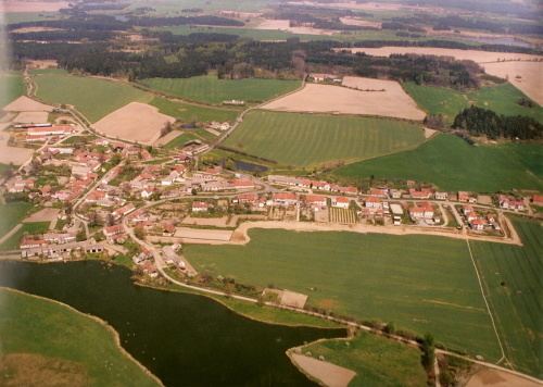 | ||
Pozďatín is a village and municipality (obec) in Třebíč District in the Vysočina Region of the Czech Republic.
Map of 675 03 Poz%C4%8Fat%C3%ADn, Czechia
The municipality covers an area of 5.71 square kilometres (2.20 sq mi), and has a population of 179 (as at 2 October 2006).
Pozďatín lies approximately 13 kilometres (8 mi) east of Třebíč, 38 km (24 mi) south-east of Jihlava, and 151 km (94 mi) south-east of Prague.
References
Pozďatín Wikipedia(Text) CC BY-SA