
Country United States FIPS code 29-59420 Elevation 306 m Zip code 64672 Population 59 (2013) | Time zone Central (CST) (UTC-6) GNIS feature ID 0735805 Area 145 ha Local time Saturday 10:57 AM Area code 660 | |
 | ||
Weather 7°C, Wind NE at 21 km/h, 97% Humidity | ||
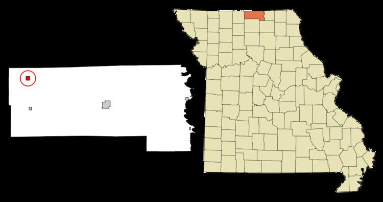
Powersville is a village in Putnam County, Missouri, United States. The population was 60 at the 2010 census.
Contents
Map of Powersville, MO 64672, USA
History
Powersville was platted in 1887 when the railroad was extended to that point. The community was named after Israel Powers, the original owner of the town site. A post office has been in operation at Powersville since 1887.
Geography
Powersville is located at 40°33′00″N 93°18′08″W.
According to the United States Census Bureau, the village has a total area of 0.56 square miles (1.45 km2), all of it land.
2010 census
As of the census of 2010, there were 60 people, 33 households, and 19 families residing in the village. The population density was 107.1 inhabitants per square mile (41.4/km2). There were 53 housing units at an average density of 94.6 per square mile (36.5/km2). The racial makeup of the village was 98.3% White and 1.7% from two or more races.
There were 33 households of which 18.2% had children under the age of 18 living with them, 45.5% were married couples living together, 6.1% had a female householder with no husband present, 6.1% had a male householder with no wife present, and 42.4% were non-families. 42.4% of all households were made up of individuals and 33.3% had someone living alone who was 65 years of age or older. The average household size was 1.82 and the average family size was 2.37.
The median age in the village was 61.5 years. 13.3% of residents were under the age of 18; 1.6% were between the ages of 18 and 24; 6.7% were from 25 to 44; 36.6% were from 45 to 64; and 41.7% were 65 years of age or older. The gender makeup of the village was 50.0% male and 50.0% female.
2000 census
As of the census of 2000, there were 86 people, 41 households, and 27 families residing in the city. The population density was 153.3 people per square mile (59.3/km²). There were 52 housing units at an average density of 92.7 per square mile (35.9/km²). The racial makeup of the city was 100.00% White.
There were 41 households out of which 26.8% had children under the age of 18 living with them, 53.7% were married couples living together, 4.9% had a female householder with no husband present, and 34.1% were non-families. 34.1% of all households were made up of individuals and 22.0% had someone living alone who was 65 years of age or older. The average household size was 2.10 and the average family size was 2.56.
In the city the population was spread out with 23.3% under the age of 18, 2.3% from 18 to 24, 29.1% from 25 to 44, 25.6% from 45 to 64, and 19.8% who were 65 years of age or older. The median age was 39 years. For every 100 females there were 79.2 males. For every 100 females age 18 and over, there were 94.1 males.
The median income for a household in the city was $25,750, and the median income for a family was $28,958. Males had a median income of $29,375 versus $7,500 for females. The per capita income for the village was $13,795. There were no families and 6.8% of the population living below the poverty line, including no under eighteens and 22.2% of those over 64.