
Country United States FIPS code 26-66120 Population 724 (2000) | Time zone Eastern (EST) (UTC-5) Elevation 219 m Local time Saturday 8:41 AM | |
 | ||
Weather 0°C, Wind E at 14 km/h, 89% Humidity Area 420.4 km² (399.4 km² Land / 20.98 km² Water) | ||
Powell Township is a civil township of Marquette County in the U.S. state of Michigan. The population was 724 at the 2000 census.
Contents
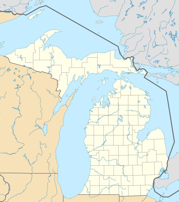
Map of Powell, MI, USA
Communities
Geography
The Huron Mountains make up a large part of the township. According to the United States Census Bureau, the township has a total area of 162.3 square miles (420 km2), of which 154.2 square miles (399 km2) is land and 8.1 square miles (21 km2) (5.02%) is water.
Demographics
As of the census of 2000, there were 724 people, 333 households, and 228 families residing in the township. The population density was 4.7 per square mile (1.8/km²). There were 818 housing units at an average density of 5.3 per square mile (2.0/km²). The racial makeup of the township was 96.27% White, 1.93% Native American, 0.14% Asian, and 1.66% from two or more races.
There were 333 households out of which 21.0% had children under the age of 18 living with them, 58.6% were married couples living together, 4.5% had a female householder with no husband present, and 31.5% were non-families. 27.9% of all households were made up of individuals and 11.4% had someone living alone who was 65 years of age or older. The average household size was 2.17 and the average family size was 2.61.
In the township the population was spread out with 17.5% under the age of 18, 5.2% from 18 to 24, 25.3% from 25 to 44, 34.8% from 45 to 64, and 17.1% who were 65 years of age or older. The median age was 46 years. For every 100 females there were 111.7 males. For every 100 females age 18 and over, there were 114.0 males.
The median income for a household in the township was $34,659, and the median income for a family was $42,969. Males had a median income of $36,250 versus $21,944 for females. The per capita income for the township was $19,391. About 5.0% of families and 8.1% of the population were below the poverty line, including 9.2% of those under age 18 and 4.0% of those age 65 or over.