
Elevation 1,389 m | Country United States of America | |
 | ||
Topo map USGS Tinemaha Reservoir | ||
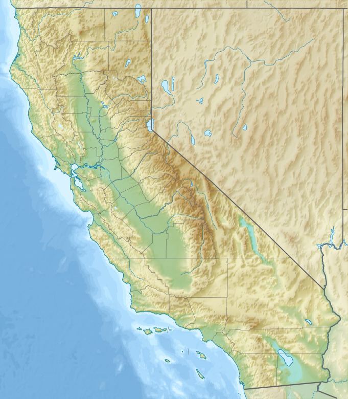
The Poverty Hills are a mountain range in northwestern Inyo County of eastern California, northwest of Bishop and the upper Owens Valley.
Map of Poverty Hills, California, USA
They are east of and below the Sierra Nevada, in the Round Valley area, and just west of Tinemaha Reservoir and the Owens River.
References
Poverty Hills Wikipedia(Text) CC BY-SA