
 | ||
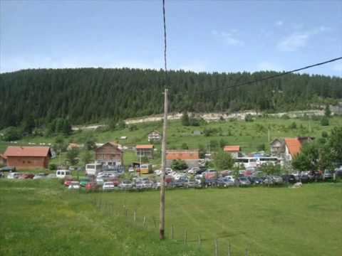
Pougarje is a long valley with 18 villages in Bosnia and Herzegovina. The river Ugar (river) runs through the valley (en: By-Ugar).Pougarje extending from the Vitovlje village to the Ugar's entrance into the canyon below Skender Vakuf. It located between Ranča Mountain (left) and rock's massif Korićanske stijene - Ugarske stijene (Ugar's rocks).
Whole area along Ugar, from Vitovlje to Ugar's canion is (by the local population) known as the Down Pougarje, while the area on Ranča's slopes is Upper Pougarje.
Pougarje (especially the slopes of Ranča) is a rich coniferous and mixed deciduous-coniferous forests. The upper and middle part of the basin in the area still has the character of a salmonid water, now there are only (brown trout) but huchen and grayling is (in the recent past) disappeared. After the construction of the The hydroelectric power plant reservoair of „Bočac“, upstream and further penetrate and ciprinide; in some seasons, all the way to the Vitovlje. In the surrounding forests are inhabited by the big game (fox, wolf, bear, wild boar, and the others), including Bosnian endemic quarry mammals. At in a brushwood at the mouth of the Ilomska, in a protected hunting area, there is feeding place for the Carnivore (including corvine shoals).
In Pougarje in Ugar flowing tributaries: Pljačkovac, Ilomska, Kobilja, Zirin potok, Kusin potok i Ugrić (right streams), and Lužnica, Dedića potok, Andrijevića potok, Bunar, Oraški and Kukavički potok (left).