
Quadrant NW Sector West Area 106 ha | Ward 1 Elevation 693 m Population 1,520 (2012) | |
 | ||
Potter Greens is a newer residential neighbourhood in west Edmonton, Alberta, Canada.
Contents
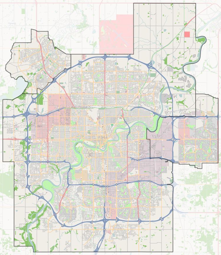
Map of Potter Greens, Edmonton, AB, Canada
Demographics
In the City of Edmonton's 2012 municipal census, Potter Greens had a population of 7003152000000000000♠1,520 living in 7002569000000000000♠569 dwellings, a -0.2% change from its 2009 population of 7003152300000000000♠1,523. With a land area of 1.06 km2 (0.41 sq mi), it had a population density of 7003143400000000000♠1,434 people/km2 in 2012.
Residential development
According to the 2001 federal census, substantially all (95.8%) of the residences in the neighbourhood were built during the 1990s.
The most common type of residence, according to the 2005 municipal census, is the single-family dwelling. These account for just over eight out of every ten (84%) of all the residences in the neighbourhood. The remaining residences are all duplexes. substantially all (99%) of the residences are owner-occupied.
The neighbourhood is bounded on the east by Anthony Henday Drive, on the west by Lewis Estates Boulevard, and on the south by Whitemud Drive. Whitemud Drive provides access to destinations on the south side, including the University of Alberta, Whyte Avenue, and Southgate Centre. The Anthony Henday provides access to destinations to the south of the city including the Edmonton International Airport.
West Edmonton Mall is located a short distance to the east of the neighbourhood along 87 Avenue.