
Country United States Elevation 357 m Local time Saturday 3:40 AM | GNIS feature ID 0477475 Area 141 km² Population 217 (2000) | |
 | ||
Weather 8°C, Wind NW at 19 km/h, 100% Humidity | ||
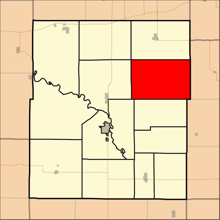
Pottawatomie Township is a township in Coffey County, Kansas, United States. As of the 2000 census, its population was 217.
Contents
Map of Pottawatomie, KS, USA
Geography
Pottawatomie Township covers an area of 54.44 square miles (141.0 km2) and contains no incorporated settlements. According to the USGS, it contains three cemeteries: Glendale, Halls Summit and Prairie View.
The stream of School Creek runs through this township.
References
Pottawatomie Township, Coffey County, Kansas Wikipedia(Text) CC BY-SA