
Architect Multiple VLR # 100-0136 Area 74 ha Year built 1894 | NRHP Reference # 92001186 Designated VLR December 11, 1991 Local time Saturday 4:02 AM Added to NRHP 10 September 1992 | |
 | ||
Location Roughly bounded by Commonwealth Ave., US 1, E. Bellefonte Ave. and Ashby St., Alexandria, Virginia Architectural style Colonial Revival, Bungalow/Craftsman, Queen Anne Weather 15°C, Wind S at 13 km/h, 66% Humidity | ||
Potomac ( listen ), Virginia, is an extinct incorporated town formerly located in Arlington County, Virginia (then called Alexandria County). A planned community, its proximity to Washington D.C. made it a popular place for employees of the U.S. government to live. Potomac was located adjacent to the massive Potomac Yard of the Richmond, Fredericksburg and Potomac Railroad.
Contents
Map of Potomac, Alexandria, VA 22301, USA
History
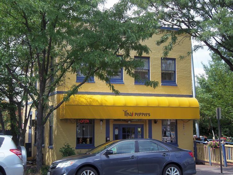
The area was developed beginning in 1894 as the communities of Del Ray, St. Elmo, Mt. Ida, and Hume, following a grid plan independent of that of Old Town Alexandria. Potomac was incorporated as a town in 1908. In 1928, the town had 2,355 residents.
The Town of Potomac was annexed by the independent city of Alexandria in 1930. Today, the Town of Potomac Historic District in Alexandria designates this historic portion of the city, and includes 1,840 acres (7.4 km2) and 690 buildings. The Town of Potomac was added to the National Register of Historic Places in 1992.
As of 2016, the United States Postal Service still recognizes "Potomac, VA" as an acceptable alternate address for ZIP code 22301, although "Alexandria, VA" is preferred.