
- elevation 92 m (302 ft) - elevation 0 m (0 ft) Area 42.59 km² Local time Friday 5:24 PM | - elevation 402 m (1,319 ft) - summer (DST) WEST (UTC+1) Centre Farrobo | |
 | ||
- location Rua Dr. Nuno Silvestre Texeira Weather 15°C, Wind N at 23 km/h, 59% Humidity | ||
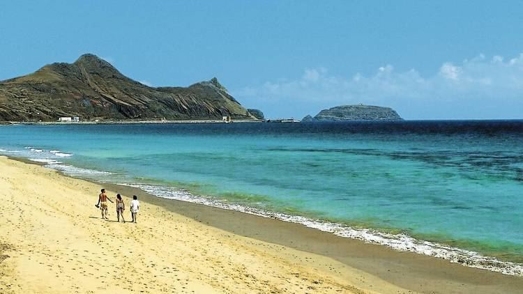
Porto Santo is the only municipality of the island of Porto Santo, in the Portuguese Madeiran archipelago. It was elevated to city status on 6 August 1996. The only parish of the municipality is also named Porto Santo. The population in 2011 was 5,483, in an area of 42.59 km². The main settlement on the island is Vila Baleira.
Map of Vila Baleira, Portugal
References
Porto Santo (Madeira) Wikipedia(Text) CC BY-SA