
OS grid reference SE787309 Sovereign state United Kingdom Postcode district DN14 Dialling code 01430 | Post town GOOLE Local time Friday 3:38 PM | |
 | ||
Weather 12°C, Wind E at 18 km/h, 50% Humidity | ||
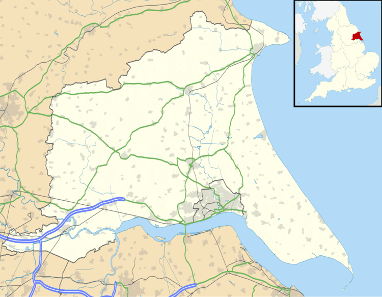
Portington is a hamlet in the East Riding of Yorkshire, England. It is situated approximately 3 miles (5 km) east of Howden and lies 0.5 miles (0.8 km) east of the A614 road.
Map of Portington, Goole, UK
It forms part of the civil parish of Eastrington. Portington lies within the Parliamentary constituency of Haltemprice and Howden an area that mainly consists of middle class suburbs, towns and villages. The area is affluent and has one of the highest proportions of owner-occupiers in the country.
Portington Hall is a Grade II listed building.
References
Portington, East Riding of Yorkshire Wikipedia(Text) CC BY-SA