
 | ||
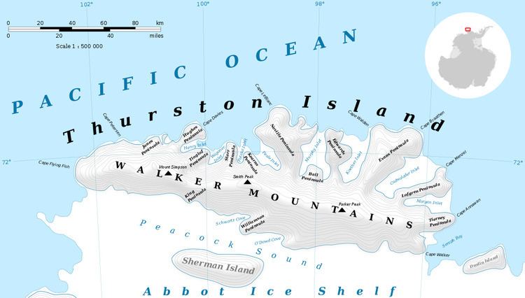
Porters Pinnacles is a group of low ice-covered rocks forming a menace to navigation along the north coast of Thurston Island, located about 4 nautical miles (7 km) north of the east extremity of Glacier Bight. Discovered by the U.S. Navy Bellingshausen Sea Expedition in February 1960, and named for Commander Philip W. Porter, Jr., U.S. Navy, commander of the icebreaker USS Glacier which made this discovery.
Maps
References
Porters Pinnacles Wikipedia(Text) CC BY-SA