
Country United States FIPS code 48-58850 Elevation 38 m Population 1,490 (2000) | Time zone Central (CST) (UTC-6) GNIS feature ID 1867563 Area 8.2 km² | |
 | ||
Porter Heights is a census-designated place (CDP) in Montgomery County, Texas, United States. The population was 1,653 at the 2010 census.
Contents
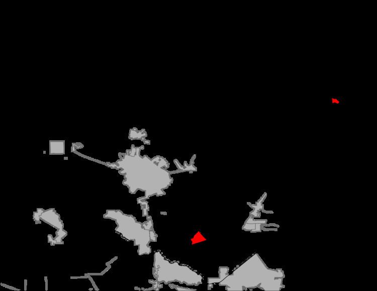
Map of Porter Heights, TX 77365, USA
Geography
Porter Heights is located at 30°9′1″N 95°19′3″W (30.150324, -95.317496).
According to the United States Census Bureau, the CDP has a total area of 3.2 square miles (8.3 km2), of which, 3.2 square miles (8.3 km2) of it is land and 0.32% is water.
Demographics
As of the census of 2000, there were 1,490 people, 533 households, and 407 families residing in the CDP. The population density was 471.7 people per square mile (182.1/km²). There were 561 housing units at an average density of 177.6/sq mi (68.5/km²). The racial makeup of the CDP was 95.23% White, 0.40% African American, 0.60% Native American, 0.27% Asian, 2.28% from other races, and 1.21% from two or more races. Hispanic or Latino of any race were 7.52% of the population.
There were 533 households out of which 36.6% had children under the age of 18 living with them, 64.2% were married couples living together, 7.7% had a female householder with no husband present, and 23.5% were non-families. 19.9% of all households were made up of individuals and 7.3% had someone living alone who was 65 years of age or older. The average household size was 2.80 and the average family size was 3.22.
In the CDP, the population was spread out with 28.0% under the age of 18, 8.9% from 18 to 24, 29.7% from 25 to 44, 25.4% from 45 to 64, and 8.1% who were 65 years of age or older. The median age was 36 years. For every 100 females there were 103.6 males. For every 100 females age 18 and over, there were 100.6 males.
The median income for a household in the CDP was $37,262, and the median income for a family was $41,615. Males had a median income of $36,522 versus $30,378 for females. The per capita income for the CDP was $16,997. About 4.4% of families and 4.3% of the population were below the poverty line, including none of those under age 18 and 13.6% of those age 65 or over.
Education
Some areas of Porter Heights are zoned to the New Caney Independent School District. Some areas of Porter Heights are zoned to the Conroe Independent School District.
Residents of the New Caney ISD section are zoned to Crippen Elementary School, White Oak Middle School, and Porter High School. Before the opening of Porter High School in 2010, students attended New Caney High School. Sixth graders previously attended the New Caney 6th Grade Campus.
Residents of the Conroe ISD section are zoned to San Jacinto Elementary School, Grangerland Intermediate School, Moorhead Junior High School, and Caney Creek High School.