
Local time Friday 3:43 AM | ||
 | ||
Weather 4°C, Wind NE at 8 km/h, 82% Humidity Voivodeship Warmian-Masurian Voivodeship | ||
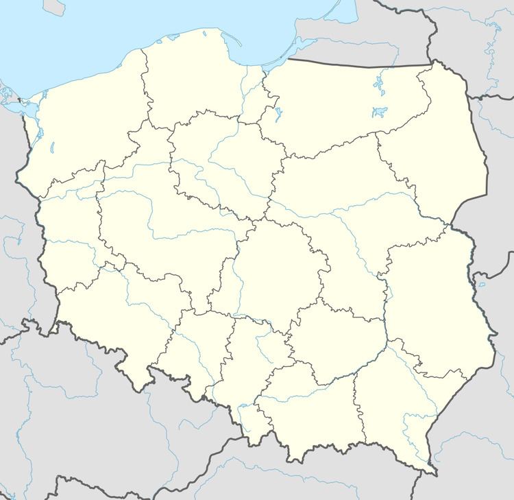
Popioły [pɔˈpjɔwɨ] (German: Popiollen, also Pappiollen) is a village in the administrative district of Gmina Budry, within Węgorzewo County, Warmian-Masurian Voivodeship, in northern Poland, close to the border with the Kaliningrad Oblast of Russia. It lies approximately 6 kilometres (4 mi) south-east of Budry, 14 km (9 mi) east of Węgorzewo, and 107 km (66 mi) north-east of the regional capital Olsztyn.
Map of Popio%C5%82y, Poland
Before 1945, the area was part of Germany (East Prussia).
References
Popioły, Warmian-Masurian Voivodeship Wikipedia(Text) CC BY-SA