
Country United States Census area Yukon-Koyukuk GNIS feature ID 1408178 Local time Thursday 4:41 PM | Time zone Alaska (AKST) (UTC-9) Elevation 153 m | |
 | ||
Weather -5°C, Wind NW at 10 km/h, 44% Humidity | ||
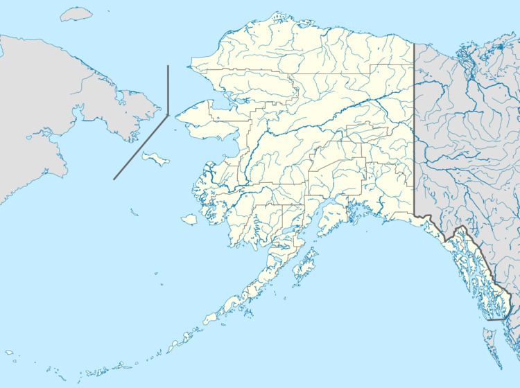
Poorman is an unincorporated community in the Yukon-Koyukuk Census Area of the Unorganized Borough of the U.S. state of Alaska, in the Kilbuck-Kuskokwin Mountains. It lies along the left bank of Poorman Creek on an unpaved road 44 miles (71 km) south of the city of Ruby on the Yukon River. Its elevation is 502 feet (153 m). Founded as a gold mining camp in 1913, Poorman possessed a post office from 1915 to 1932. The community's name (given for the nearby Poorman Creek) was officially decided by the Board on Geographic Names in 1944.
Map of Poorman, AK, USA
References
Poorman, Alaska Wikipedia(Text) CC BY-SA