
River mouth 1,148 ft (350 m) Country United States of America | Length 72 km | |
 | ||
Progression Cumberland—Ohio—Mississippi | ||
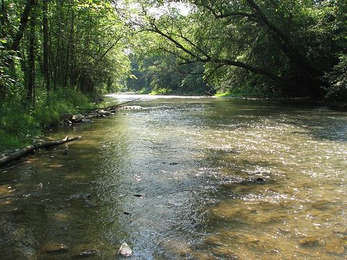
The Poor Fork is a 45-mile (72 km) tributary of the Cumberland River in Letcher and Harlan Counties, southeast Kentucky, in the United States. The river flows from its source at Flat Gap in the Appalachian Mountains, on the Kentucky–Virginia border, generally southwest to its confluence about a mile (1.6 km) north of Harlan.
Map of Poor Fork Cumberland River, Kentucky, USA
References
Poor Fork (Cumberland River) Wikipedia(Text) CC BY-SA