
Website www.ponymontana.com Local time Thursday 5:22 PM | Area 78 ha Added to NRHP 4 August 1987 | |
 | ||
Weather 9°C, Wind N at 13 km/h, 35% Humidity | ||
Pony montana winter tour
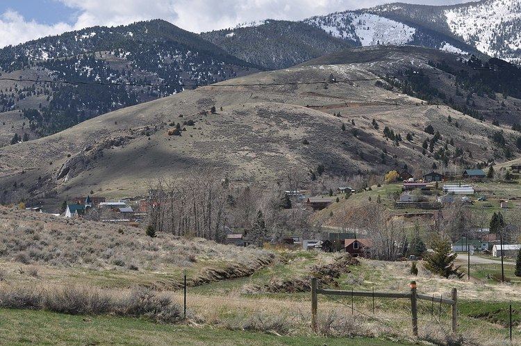
Pony is an unincorporated community in northeastern Madison County, Montana, United States on the eastern edge of the Tobacco Root Mountains. It includes the 192 acres (78 ha) Pony Historic District, a historic district with 95 contributing buildings listed on the National Register of Historic Places.
Contents
Map of Pony, MT, USA
The town gained its name from the nickname of one of its early miners, Tecumseth Smith, a small man nicknamed "Pony" because of his diminutive size.
Settled in the 1860s, in the late nineteenth century, Pony was a prosperous gold-mining community with at least 5,000 residents. Mining operations declined in the early 20th century and all were closed by 1922. A number of historic buildings from Pony's boom era remain in the old town today.
Former Montana Lieutenant Gov. Karl Ohs owned a ranch in Pony.