
Postal code 25740 Area 30.5 km² Population 2,701 (2014) | Demonym(s) Pontsicans Elevation 363 m Local time Thursday 11:58 PM | |
 | ||
Website www.ccnoguera.cat/ponts Weather 5°C, Wind E at 6 km/h, 72% Humidity | ||
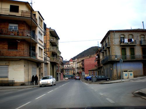
Ponts is a municipality and a town in the comarca of the Noguera in the province of Lleida, Catalonia, Spain. It is situated on the left bank of the Segre river near its confluence with the Llobregós river and at the point where the routes from Calaf (currently the C-1412 road) and Cervera (currently the L-313 road) meet the route from Lleida to La Seu d'Urgell (currently the C-1313 road).
Contents
Map of Ponts, Lleida, Spain
Economy is based on agriculture (cereals, olives, vine, potato, sunflowers) and animal husbandry (domestic sheep, pigs, birds). The industry sector comprises food processing and textiles.
Main sights
References
Ponts, Lleida Wikipedia(Text) CC BY-SA