
Country U. S. A. Elevation 251 m Local time Thursday 5:08 PM | Time zone CST (UTC-6) Zip code 65729 | |
 | ||
Weather 26°C, Wind S at 19 km/h, 37% Humidity | ||
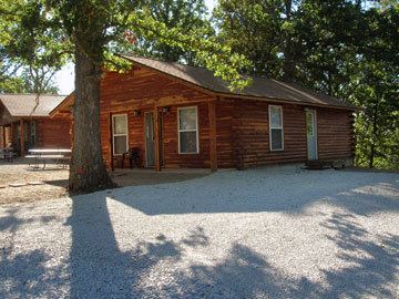
Pontiac is a census-designated place in southern Ozark County, Missouri. It lies six miles south of Isabella and 18.5 miles southwest of Gainesville. It is located on the northeast shore of Bull Shoals Lake.
Map of Pontiac, MO 65729, USA
A post office called Pontiac has been in operation since 1887. The community was named in honor of the Ottawa Indian chief Pontiac, perhaps via Pontiac, Michigan.
The town is located on a ridge above the lake at an elevation of about 820 feet. The lake has a normal surface elevation of 654 feet. The town consists of a post office, a marina and campgrounds on the lake, a restaurant, and a church. Pontiac is accessed via Missouri Route W from Missouri Route 5 south of Gainesville.
References
Pontiac, Missouri Wikipedia(Text) CC BY-SA