
Country United States County Clay FIPS code 18-61038 Elevation 210 m Local time Thursday 6:07 PM | State Indiana Township Van Buren GNIS feature ID 441432 Zip code 47837 | |
 | ||
Weather 12°C, Wind SE at 16 km/h, 37% Humidity | ||
Pontiac is an unincorporated community in Van Buren Township, Clay County, Indiana. It is part of the Terre Haute Metropolitan Statistical Area.
Contents
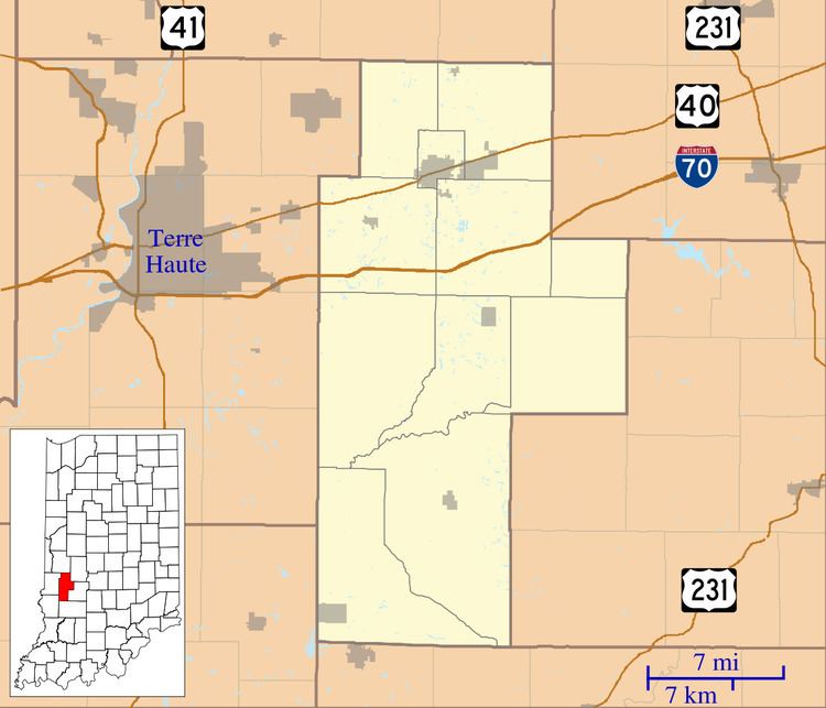
Map of Pontiac, IN 47837, USA
History
Pontiac was laid out in 1871 in anticipation of the railroad being built through it. It was named after Chief Pontiac.
Geography
Pontiac is located at 39°35′25″N 87°07′07″W.
References
Pontiac, Indiana Wikipedia(Text) CC BY-SA