
Length 80 km | Country New Zealand | |
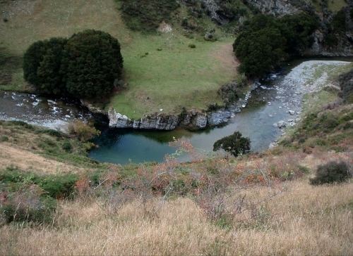 | ||
The Pomahaka River is in South Otago in New Zealand's South Island. It is a tributary of the Clutha River, flowing south for 80 kilometres (50 mi) from the Old Man Range of mountains to join the Clutha just north of Balclutha. Along its path it passes the Blue Mountains and the forestry town of Tapanui in the area known locally as West Otago.
Map of Pomahaka River, Otago, New Zealand
For a short part of its length, the river forms the boundary between Otago and Southland regions.
Major flooding of the Pomahaka in 1978 led to the relocation of the town of Kelso and caused damage severe enough to lead to the closure of the Tapanui Branch railway.
The Pomahaka River has been suffering from declining water quality in recent years due to land use intensification, and many have said that this has led to a decline in the trout and salmon fishery.