
Country United States FIPS code 29-58916 Elevation 309 m Population 550 (2013) Area code 660 | Time zone Central (CST) (UTC-6) GNIS feature ID 0724721 Zip code 64671 Local time Thursday 4:11 AM | |
 | ||
Weather 9°C, Wind SE at 16 km/h, 35% Humidity Area 163 ha (161 ha Land / 3 ha Water) | ||
Suzanne from polo missouri shares her 2007 mercury mountaineer buying story
Polo is a city in Caldwell County, Missouri, United States. The population was 575 at the 2010 census.
Contents
- Suzanne from polo missouri shares her 2007 mercury mountaineer buying story
- Map of Polo MO 64671 USA
- History
- Geography
- 2010 census
- 2000 census
- References
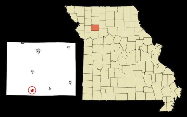
Map of Polo, MO 64671, USA
History
Polo was laid out in 1867. The city's name is a transfer from Polo, Illinois. A post office called Polo has been in operation since 1868.
Geography
Polo is located at 39°33′10″N 94°2′20″W (39.552842, -94.039022).
According to the United States Census Bureau, the city has a total area of 0.63 square miles (1.63 km2), of which 0.62 square miles (1.61 km2) is land and 0.01 square miles (0.03 km2) is water.
2010 census
As of the census of 2010, there were 575 people, 229 households, and 136 families residing in the city. The population density was 927.4 inhabitants per square mile (358.1/km2). There were 256 housing units at an average density of 412.9 per square mile (159.4/km2). The racial makeup of the city was 95.1% White, 0.3% African American, 0.2% Asian, 0.3% from other races, and 4.0% from two or more races. Hispanic or Latino of any race were 1.9% of the population.
There were 229 households of which 31.0% had children under the age of 18 living with them, 41.5% were married couples living together, 13.1% had a female householder with no husband present, 4.8% had a male householder with no wife present, and 40.6% were non-families. 33.6% of all households were made up of individuals and 17% had someone living alone who was 65 years of age or older. The average household size was 2.46 and the average family size was 3.17.
The median age in the city was 38.9 years. 26.8% of residents were under the age of 18; 6.8% were between the ages of 18 and 24; 24.2% were from 25 to 44; 22.8% were from 45 to 64; and 19.5% were 65 years of age or older. The gender makeup of the city was 47.3% male and 52.7% female.
2000 census
As of the census of 2000, there were 582 people, 239 households, and 150 families residing in the city. The population density was 1,006.4 people per square mile (387.4/km²). There were 262 housing units at an average density of 453.0 per square mile (174.4/km²). The racial makeup of the city was 99.48% White, 0.17% from other races, and 0.34% from two or more races. Hispanic or Latino of any race were 1.37% of the population.
There were 239 households out of which 28.5% had children under the age of 18 living with them, 49.4% were married couples living together, 7.5% had a female householder with no husband present, and 37.2% were non-families. 31.4% of all households were made up of individuals and 17.2% had someone living alone who was 65 years of age or older. The average household size was 2.44 and the average family size was 3.09.
In the city the population was spread out with 25.8% under the age of 18, 8.6% from 18 to 24, 27.5% from 25 to 44, 22.3% from 45 to 64, and 15.8% who were 65 years of age or older. The median age was 36 years. For every 100 females there were 94.6 males. For every 100 females age 18 and over, there were 94.6 males.
The median income for a household in the city was $34,250, and the median income for a family was $36,705. Males had a median income of $32,375 versus $21,111 for females. The per capita income for the city was $15,868. About 5.2% of families and 7.1% of the population were below the poverty line, including 5.5% of those under age 18 and 6.3% of those age 65 or over.