
Country United States County Monmouth Time zone Eastern (EST) (UTC-6) Elevation 33 m | State New Jersey Township Upper Freehold ZIP code 08501 Local time Wednesday 7:43 PM | |
 | ||
Weather -1°C, Wind NW at 27 km/h, 24% Humidity | ||
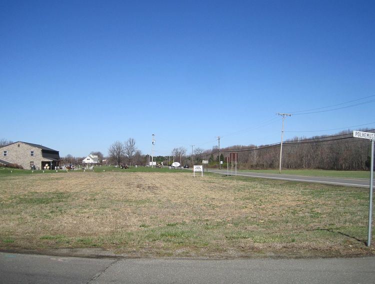
Polhemustown is an unincorporated community located within Upper Freehold Township in Monmouth County, New Jersey, United States. The community is mostly made up of farmland with a few homes and businesses (including the Cream Ridge Winery and Cream Ridge Golf Course) scattered around the area. Polhemustown is centered about the intersection of County Route 539, Polhemustown Road, and Holmes Mill Road.
Map of Polhemustown, NJ 08501, USA
References
Polhemustown, New Jersey Wikipedia(Text) CC BY-SA