
Quadrant NW Established 1911 Elevation 1,060 m Local time Wednesday 10:47 AM | Ward 7 Annexed 1963 Area 30 ha Population 1,344 (2006) Mayor Naheed Nenshi | |
 | ||
Weather 5°C, Wind SW at 13 km/h, 78% Humidity | ||
Point Mckay is a residential neighbourhood in the north-west quadrant of Calgary, Alberta. It is bounded to the north by Bowness Road and to the south by the Bow River. Edworthy Park is located across the river, and is connected by a bridge to Point Mckay.
Contents
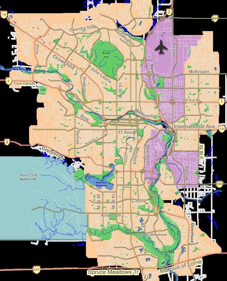
Map of Point McKay, Calgary, AB, Canada
It was part of the town of Montgomery before it was annexed to the City of Calgary in 1963. It is represented in the Calgary City Council by the Ward 7 councillor.
Demographics
In the City of Calgary's 2012 municipal census, Point Mckay had a population of 7003131800000000000♠1,318 living in 7002846000000000000♠846 dwellings, a 0% increase from its 2011 population of 7003131800000000000♠1,318. With a land area of 0.4 km2 (0.15 sq mi), it had a population density of 3,300/km2 (8,500/sq mi) in 2012.
Residents in this community had a median household income of $63,731 in 2000, and there were 9.5% low income residents living in the neighbourhood. As of 2000, 15.2% of the residents were immigrants. A proportion of 37.4% of the buildings were condominiums or apartments, and 25.8% of the housing was used for renting.
Education
The community is served by Terrace Road Elementary public school.