
Population 159 (2011 census) Postcode(s) 3916 Postal code 3916 Federal division Division of Flinders | Established 1940s State electorate(s) Nepean Local time Thursday 3:41 AM | |
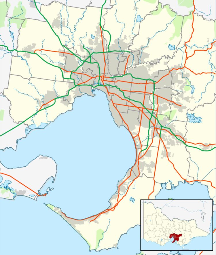 | ||
Location 77 km (48 mi) from Melbourne
20 km (12 mi) from Rosebud LGA(s) Shire of Mornington Peninsula Weather 16°C, Wind SE at 18 km/h, 81% Humidity | ||
Point Leo is a town in the Shire of Mornington Peninsula, Victoria, Australia. Point Leo Foreshore Reserve provides excellent waves for surfing and is one of the closest surf beaches to Melbourne. At the 2011 census, Point Leo had a population of 159.
Contents
Map of Point Leo VIC 3916, Australia
History
The area was known as Bobbanaring to the local Bunurong people prior to European settlement. The area was first surveyed in 1841, and a town was proposed here in 1869, but the area did not develop until after World War II, when the Woods family built a house and store. Facilities were developed in the 1960s, including camping grounds, toilet blocks with hot showers on the foreshore and a kiosk on the surf beach. A Post Office opened on 8 December 1969, but closed in 1974. By the 1980s the area was still dominated by holiday homes and weekend travellers with few permanent residents.
Present day
The small town contains a general store and supports an active surf lifesaving club and boat club. A large foreshore reserve includes picnic, barbecue and camping areas, managed by Point Leo Foreshore, and provide access to the surf beach. A gate fee is payable. Most other facilities are available from nearby Shoreham and Balnarring.
No public transport services Point Leo directly although the 782 bus route operated by Peninsula Bus Lines between Frankston and Flinders passes within 2 km of the town.