
Type lake Primary outflows Rybnica, Zimna Max. length 3.9 km (2.4 mi) Area 6.705 km² Length 3.9 km | Primary inflows Max. width 2.5 km (1.6 mi) Mean depth 1 m Width 2.5 km | |
 | ||
Primary outflow Zimna, Podlaskie Voivodeship | ||
Pogubie Wielki is a lake located in the Masurian Plains, on the terrain of the Puszcza Piska, to the South-Western direction of Pisz, near the village of Pogobie Średnie (Gmina Pisz, Pisz County, Warmian-Masurian Voivodeship).
Map of Jezioro Pogubie Wielkie, Poland
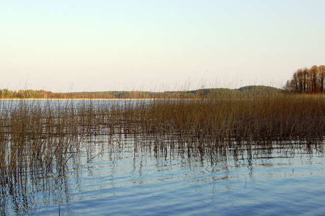
The lake is polymictic with a round shape and a depth which does not have substantial difference. The lake's area is 670,8 ha, the length is 3,9 km, has a width of 2,5 km, and the depth to 2.6 metres. In the Northern part of the lake is located the island Ostrów Wielki with an area of 21 ha. The lake is mainly surrounded by forests (about 95%, the rest 5% are fields and pastures). The shore of the lake is a swamp, and is not easily accessible. The surface of the lake is covered with vegetation from the water. The main inflow of the lake is the river Rybnica, which carries water from the lake Brzozolasek. The outflow of the lake is also by the river Rybnica in the South which flows the water to the nearby lake Pogubie Małe. From the Western side of the lake the river Zimna flows in.
The lake is located in the area of Jezioro Pogubie Wielkie Nature Reserve (ornithological nature reserve).
The lake is classified to have second class quality water with a result of 2.4.