
Country New Zealand | ||
 | ||
Poerua River is the name of two rivers in the West Coast region of New Zealand's South Island.
Map of Poerua River, Harihari, New Zealand
The northern Poerua River flows from Lake Poerua into the Crooked River, which leads to Lake Brunner.
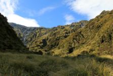
The southern Poerua River flows from its headwaters in the Southern Alps to the Tasman Sea near Harihari. The river is a trout and salmon fishing location and its mouth is where it is met by the Hinatua River and is located roughly a kilometre south of the Wanganui River's mouth. On the morning of 6 October 1999, a landslide from Mount Adams blocked the Poerua River, creating a landslide dam about 11 km upstream from the State Highway 6 bridge over the river. Despite fears of flooding and other damage, there were relatively minimal impacts when the dam was breached six days later, though significant quantities of coarse gravel were deposited downstream and the river's course was changed in places.