
Elevation 400 m Local time Wednesday 1:18 PM | Area 114 ha Population 113 (2002) | |
 | ||
Weather 13°C, Wind S at 6 km/h, 72% Humidity | ||
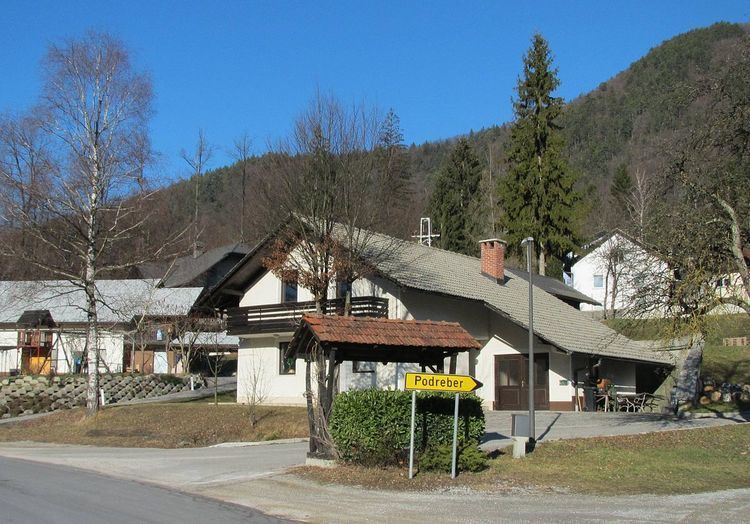
Podreber ([pɔˈdɾeːbəɾ]) is a small settlement east of the town of Polhov Gradec in the Municipality of Dobrova–Polhov Gradec in the Upper Carniola region of Slovenia. It lies on the road from Ljubljana to Polhov Gradec below Kucelj Hill (705 m).
Contents
Map of 1355 Podreber, Slovenia
Name
The name Podreber is derived from a prepositional phrase in which the noun has lost its case ending: pod 'below' + reber 'slope'. The name therefore means 'below the slope' and refers to the settlement's position on the south slope of Kucelj Hill.
Church
St. Elizabeth's Church in the village was first mentioned in 1526 but is considerably older. The main altar dates from the beginning of the 18th century, and the two side altars are gilded altars dating from 1625.
References
Podreber, Dobrova–Polhov Gradec Wikipedia(Text) CC BY-SA