
Elevation 473 m | Postal code 582 64 Area 4.21 km² | |
 | ||
Website | ||
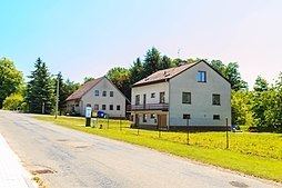
Podmoklany is a village and municipality (obec) in Havlíčkův Brod District in the Vysočina Region of the Czech Republic.
Map of 582 64 Podmoklany, Czechia
The municipality covers an area of 4.21 square kilometres (1.63 sq mi), and has a population of 142.
Podmoklany lies approximately 19 kilometres (12 mi) north-east of Havlíčkův Brod, 39 km (24 mi) north of Jihlava, and 105 km (65 mi) south-east of Prague.
References
Podmoklany Wikipedia(Text) CC BY-SA