
Elevation 368 m | Postal code 671 06 Area 6.17 km² | |
 | ||
Website | ||
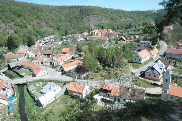
Podhradí nad Dyjí is a village and municipality (obec) in Znojmo District in the South Moravian Region of the Czech Republic.
Map of 671 06 Podhrad%C3%AD nad Dyj%C3%AD, Czechia
The municipality covers an area of 6.17 square kilometres (2.38 sq mi), and has a population of 50 (as at 28 August 2006).
Podhradí nad Dyjí lies approximately 27 kilometres (17 mi) west of Znojmo, 77 km (48 mi) south-west of Brno, and 161 km (100 mi) south-east of Prague.
References
Podhradí nad Dyjí Wikipedia(Text) CC BY-SA