
Country Poland Gmina Czarny Dunajec Voivodeship Lesser Poland Voivodeship | County Nowy Targ Local time Wednesday 10:56 AM | |
 | ||
Weather 7°C, Wind E at 10 km/h, 94% Humidity | ||
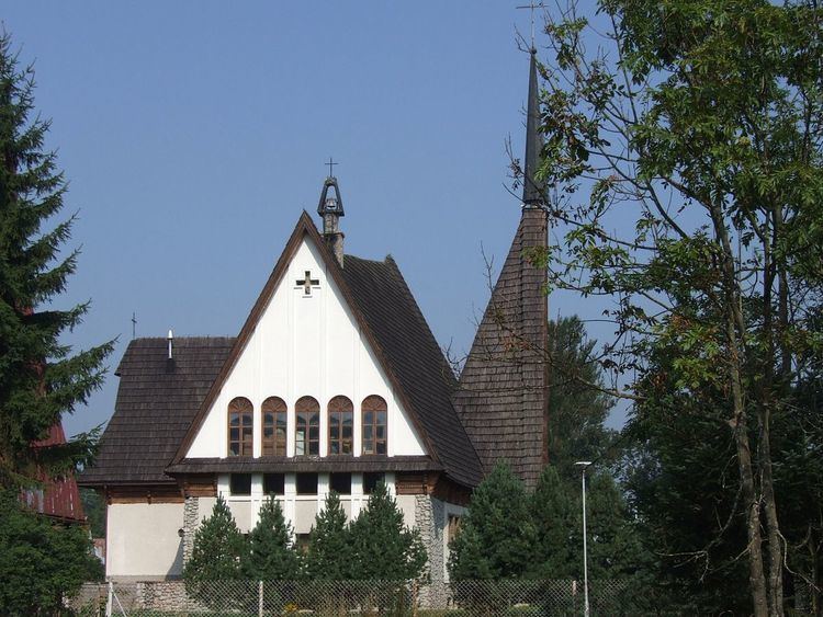
Podczerwone [pɔtt͡ʂɛrˈvɔnɛ] is a village in the administrative district of Gmina Czarny Dunajec, within Nowy Targ County, Lesser Poland Voivodeship, in southern Poland, close to the border with Slovakia. It lies approximately 17 kilometres (11 mi) southwest of Nowy Targ and 74 km (46 mi) south of the regional capital Kraków.
Map of Podczerwone, Poland
The village of Podczerwone was founded by Szymon Czerwinski under the Royal Decree of Sigismund III Vasa in 1604 giving the property privileges in Western Tatra Mountains and Czarny Dunajec river valley. The privileges included the Dolina Lejowa, Polana Bialy Potok, Hawrylówka, Roztoki, Polynica, the forests of Furtaska, Kryta and Krzyskówka. During Poland's Partition Period (123 years) the region remained under Austrian jurisdiction and the town and its privileges were sold in Vienna to land investors. Under the communists' jurisdiction, in 1976 the governmental decree illegally expropriated Dolina Lejowa. The forests of Furtaska, Kryta, Krzyskowka and Bialy Potok, Hawrylówka and Roztoki valley did survive and remained as part of the 7 Villages Commonwealth with the Head Office in Witów. Presently the village counts about 640 residences. A significant number of them emigrated to the United States and Canada. They became strong contributing members of new North American communities and also active members of the Polish Highlanders Alliance of North America (Związek Podhalan w Ameryce Północnej) in Chicago and Toronto.