
Elevation 447 m Population 248 (2006) | Region Plzeň Postal code 345 61 Area 2.72 km² | |
 | ||
Website | ||
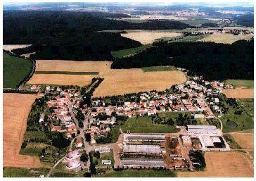
Poděvousy is a village and municipality (obec) in Domažlice District in the Plzeň Region of the Czech Republic.
Map of 345 61 Pod%C4%9Bvousy, Czechia
The municipality covers an area of 2.72 square kilometres (1.05 sq mi), and has a population of 248 (as of 3 July 2006).
Poděvousy lies approximately 18 kilometres (11 mi) north-east of Domažlice, 31 km (19 mi) south-west of Plzeň, and 112 km (70 mi) south-west of Prague.
Despite an unclear history, experts conclude early Feudal origin of the village. After creating a new system of political governance from 1850, it became an independent municipality in Poděvousy political district. Since the reorganization of government in 1960, it became part of the district Poděvousy Domazlice. Currently, the village has 107 houses, of which 76 are occupied and 31 are permanently uninhabited.