
Country United States FIPS code 36-58772 Elevation 384 m Population 1,804 (2010) Area code 607 | State New York Time zone Eastern (EST) (UTC-5) GNIS feature ID 0979379 Zip code 13832 Local time Wednesday 2:15 AM | |
 | ||
Weather 0°C, Wind W at 24 km/h, 73% Humidity Area 109.8 km² (109.3 km² Land / 52 ha Water) | ||
Plymouth is a town in Chenango County, New York, United States. The population was 1,804 at the 2010 census. It is an interior town in the northern part of the county. The town is northwest of the city of Norwich.
Contents
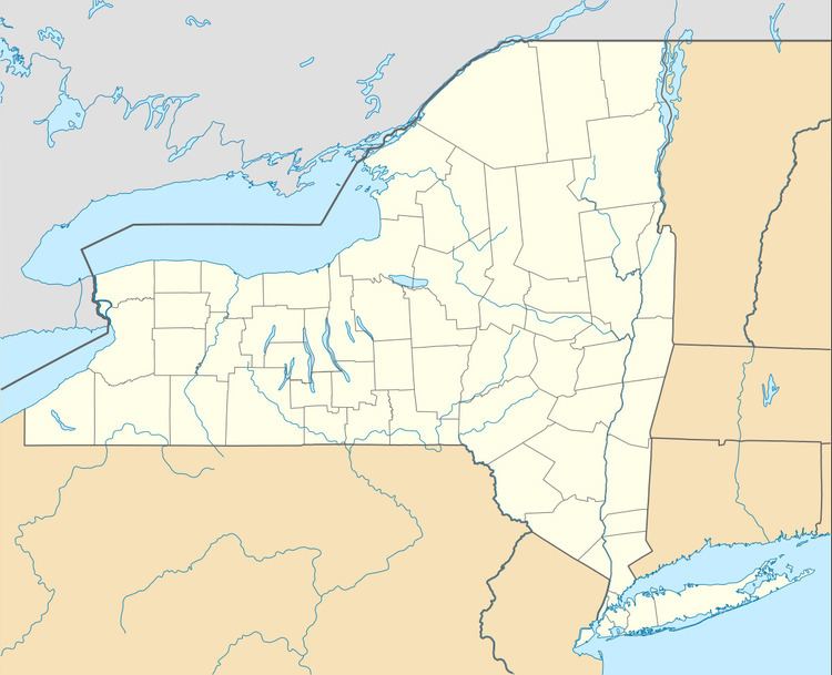
- Map of Plymouth NY 13832 USA
- History
- Geography
- Demographics
- Communities and locations in Plymouth New York
- Plymouth Volunteer Fire Department
- References
Map of Plymouth, NY 13832, USA
History
Families began to settle Plymouth around 1794. The town was formed from the town of Norwich in 1806.
Geography
According to the United States Census Bureau, Plymouth has a total area of 42.4 square miles (109.7 km2), of which 42.2 square miles (109.2 km2) is land and 0.15 square miles (0.4 km2), or 0.40%, is water.
New York State Route 23 is an east-west highway through the town.
Demographics
As of the census of 2000, there were 2,149 people, 692 households, and 513 families residing in the town. The population density was 48.6 people per square mile (18.8/km²). There were 873 housing units at an average density of 20.7 per square mile (8.0/km²). The racial makeup of the town was 91.17% White, 6.88% African American, 0.34% Native American, 1.17% from other races, and 0.44% from two or more races. Hispanic or Latino of any race were 4.64% of the population.
There were 692 households out of which 34.8% had children under the age of 18 living with them, 58.2% were married couples living together, 8.2% had a female householder with no husband present, and 26.2% were non-families. 19.2% of all households were made up of individuals and 6.6% had someone living alone who was 65 years of age or older. The average household size was 2.64 and the average family size was 2.97.
In the town, the population was spread out with 24.4% under the age of 18, 8.5% from 18 to 24, 33.0% from 25 to 44, 24.5% from 45 to 64, and 9.6% who were 65 years of age or older. The median age was 36 years. For every 100 females there were 135.2 males. For every 100 females age 18 and over, there were 142.2 males.
The median income for a household in the town was $53,611, and the median income for a family was $35,602. Males had a median income of $19,921 versus $20,000 for females. The per capita income for the town was $18,100. About 29.4% of families and 14.3% of the population were below the poverty line, including 19.7% of those under age 18 and 10.7% of those age 65 or over.
Communities and locations in Plymouth, New York
Plymouth Volunteer Fire Department
The Plymouth Vol. Fire Department is located on State Highway 23. The firehouse is attached to the Plymouth town offices. The fire department has roughly 12 firefighters, including a chief, one assistant chiefs, and three captains (two on the fire side and one on the ems side). There are four pieces of apparatus: two engines, one rescue, and one tanker. The Plymouth Volunteer Fire Department is an all-volunteer force that dates back to the pre-1950s.