
County Huntington ZIP code 46792 Elevation 261 m | State Indiana FIPS code 18-60804 Local time Wednesday 12:00 AM | |
 | ||
Weather 2°C, Wind N at 14 km/h, 62% Humidity | ||
Plum Tree is an unincorporated community in Rock Creek Township, Huntington County, Indiana.
Contents
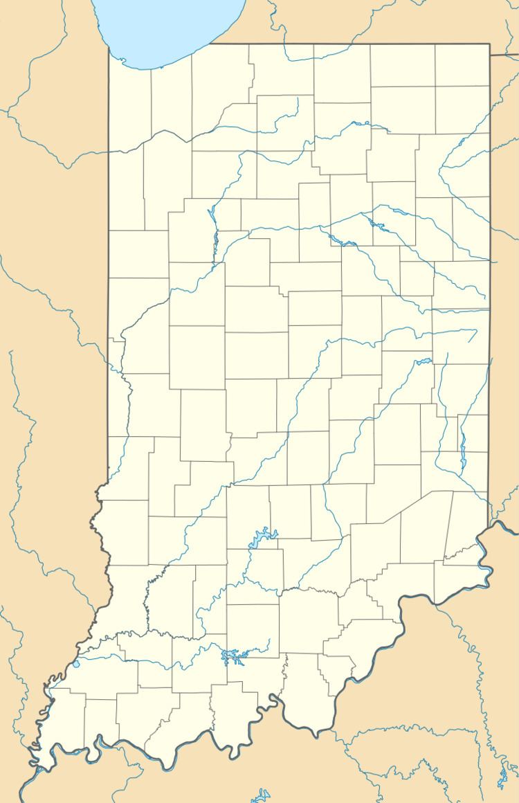
Map of Plum Tree, IN 46792, USA
History
Never officially platted, Plum Tree took its name from a large, wild plum tree. A post office was established at Plum Tree in 1876, and remained in operation until it was discontinued in 1893.
Geography
Plum Tree is located at 40°44′32″N 85°23′33″W.
References
Plum Tree, Indiana Wikipedia(Text) CC BY-SA