
Country United States FIPS code 05-56270 Elevation 184 m Zip code 72568 Local time Tuesday 4:10 PM | Time zone Central (CST) (UTC-6) GNIS feature ID 0078053 Area 210 ha Population 353 (2013) Area code 501 | |
 | ||
Weather 21°C, Wind E at 11 km/h, 56% Humidity | ||
Pleasant Plains is a town in Independence County, Arkansas, United States. The population was 267 at the 2000 census.
Contents
Map of Pleasant Plains, AR 72568, USA
History
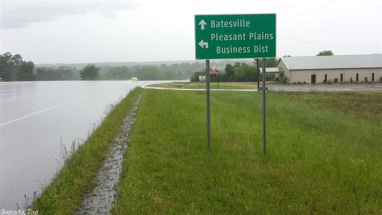
The historic Southwest Trail, a path used by most travelers entering Arkansas early in the 1800s, entered Pleasant Plains on today's U.S. Highway 167 from Southside. From Pleasant Plains the Southwest Trail headed to Sunnydale via Arkansas Highway 157, en route to Center Hill and Floyd. By the 1830s more than 80 percent of the Arkansas territory's population had entered through the Southwest Trail. The route, at the time the main route to Texas, is also known as the Old Military Road.
Geography
Pleasant Plains is located at 35°33′3″N 91°37′38″W (35.550717, -91.627090). According to the United States Census Bureau, the town has a total area of 2.2 km² (0.9 mi²), all land.
Demographics
As of the census of 2000, there were 267 people, 106 households, and 78 families residing in the town. The population density was 121.3/km² (314.5/mi²). There were 120 housing units at an average density of 54.5/km² (141.3/mi²). The racial makeup of the town was 94.76% White, 1.50% Native American, 2.25% from other races, and 1.50% from two or more races. 4.87% of the population were Hispanic or Latino of any race.
There were 106 households out of which 34.9% had children under the age of 18 living with them, 56.6% were married couples living together, 13.2% had a female householder with no husband present, and 26.4% were non-families. 25.5% of all households were made up of individuals and 13.2% had someone living alone who was 65 years of age or older. The average household size was 2.52 and the average family size was 3.03.
In the town, the population was spread out with 26.2% under the age of 18, 7.5% from 18 to 24, 31.8% from 25 to 44, 21.0% from 45 to 64, and 13.5% who were 65 years of age or older. The median age was 34 years. For every 100 females there were 103.8 males. For every 100 females age 18 and over, there were 97.0 males.
The median income for a household in the town was $22,188, and the median income for a family was $35,000. Males had a median income of $22,344 versus $17,250 for females. The per capita income for the town was $11,129. About 11.4% of families and 16.0% of the population were below the poverty line, including 13.6% of those under the age of eighteen and 30.4% of those sixty five or over.
Education
Since the 1985–86 school year, public education for elementary and secondary students has been provided by the Midland School District, which includes Midland Elementary School and Midland High School, all based in this community. Midland formed as a result of consolidation of the former Pleasant Plains and Floral school districts.