
Country United States Time zone CST (UTC-6) Elevation 171 m Local time Tuesday 4:08 PM | Settlement November 6, 1888 ZIP codes 62246, 62262, 62284 Area 98.06 km² Population 1,018 (2010) | |
 | ||
Weather 16°C, Wind N at 24 km/h, 33% Humidity | ||
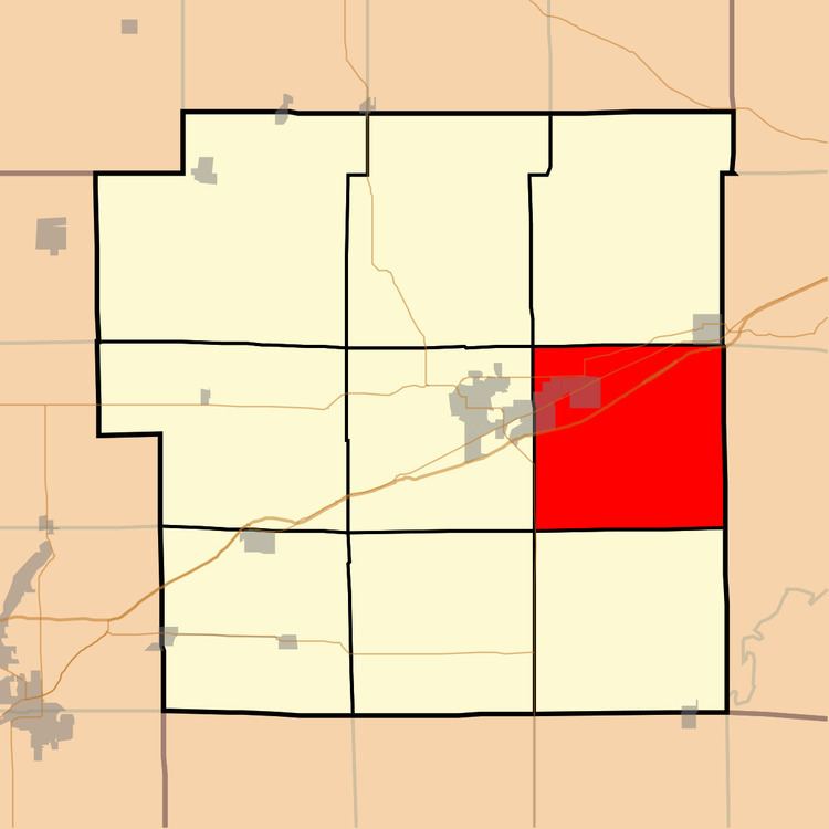
Pleasant Mound Township is one of nine townships in Bond County, Illinois, USA. As of the 2010 census, its population was 1,018 and it contained 498 housing units.
Contents
- Map of Pleasant Mound Township IL USA
- Geography
- Cities
- Unincorporated towns
- Cemeteries
- Major highways
- School districts
- Political districts
- References
Map of Pleasant Mound Township, IL, USA
Geography
According to the 2010 census, the township has a total area of 37.86 square miles (98.1 km2), of which 37.81 square miles (97.9 km2) (or 99.87%) is land and 0.05 square miles (0.13 km2) (or 0.13%) is water.
Cities
Unincorporated towns
Cemeteries
The township contains these six cemeteries: Durham, Halls Grove, Maxey, Mulberry Grove, Noffsinger and Seagraves.
Major highways
School districts
Political districts
References
Pleasant Mound Township, Bond County, Illinois Wikipedia(Text) CC BY-SA