
Country United States FIPS code 29-58394 Elevation 276 m Population 8,218 (2013) Area code 816 | Time zone Central (CST) (UTC-6) GNIS feature ID 0724514 Zip code 64080 Local time Tuesday 3:57 PM | |
 | ||
Weather 16°C, Wind NE at 32 km/h, 34% Humidity Area 21.19 km² (20.75 km² Land / 44 ha Water) | ||
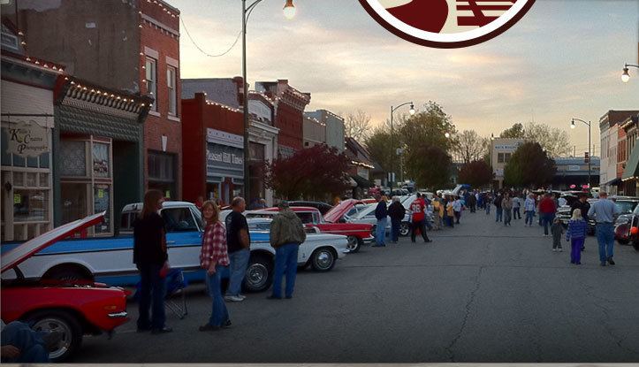
Pleasant Hill is a city in Cass County, Missouri, United States. The population was 8,113 at the 2010 census.
Contents
- Map of Pleasant Hill MO 64080 USA
- History
- Geography
- 2010 census
- 2000 census
- Education
- Notable people
- References
Map of Pleasant Hill, MO 64080, USA
Pleasant Hill is home for the National Weather Service Kansas City/Pleasant Hill, Missouri office, which serves 37 counties in northern and western Missouri and seven counties in extreme east-central Kansas.
History
Pleasant Hill was platted in 1844, and moved to its current site in 1865 when the railroad was built through the area. The community was named from its "pleasant situation on an elevated prairie".
The Pleasant Hill Downtown Historic District was listed on the National Register of Historic Places in 1994.
Geography
Pleasant Hill is located at 38°47′26″N 94°15′58″W (38.790481, -94.266056).
According to the United States Census Bureau, the city has a total area of 8.18 square miles (21.19 km2), of which, 8.01 square miles (20.75 km2) is land and 0.17 square miles (0.44 km2) is water.
Pleasant Hill is located at the convergence of Missouri Highway 7 and Missouri Highway 58. and is approximately 8.7 miles south of US Highway 50.
2010 census
As of the census of 2010, there were 8,113 people, 2,959 households, and 2,196 families residing in the city. The population density was 1,012.9 inhabitants per square mile (391.1/km2). There were 3,169 housing units at an average density of 395.6 per square mile (152.7/km2). The racial makeup of the city was 95.3% White, 0.7% African American, 0.5% Native American, 0.5% Asian, 0.1% Pacific Islander, 1.2% from other races, and 1.7% from two or more races. Hispanic or Latino of any race were 3.7% of the population.
There were 2,959 households of which 42.7% had children under the age of 18 living with them, 56.3% were married couples living together, 13.2% had a female householder with no husband present, 4.7% had a male householder with no wife present, and 25.8% were non-families. 21.5% of all households were made up of individuals and 8.8% had someone living alone who was 65 years of age or older. The average household size was 2.71 and the average family size was 3.13.
The median age in the city was 33.7 years. 29.5% of residents were under the age of 18; 8.2% were between the ages of 18 and 24; 28.8% were from 25 to 44; 21.9% were from 45 to 64; and 11.7% were 65 years of age or older. The gender makeup of the city was 48.4% male and 51.6% female.
2000 census
At the 2000 census, there were 5,582 people, 2,070 households and 1,509 families residing in the city. The population density was 1,242.3 per square mile (480.0/km²). There were 2,202 housing units at an average density of 490.1 per square mile (189.4/km²). The racial makeup of the city was 97.55% White, 0.21% African American, 0.34% Native American, 0.38% Asian, 0.45% from other races, and 1.07% from two or more races. Hispanic or Latino of any race were 1.58% of the population.
There were 2,070 households of which 40.7% had children under the age of 18 living with them, 58.6% were married couples living together, 10.3% had a female householder with no husband present, and 27.1% were non-families. 22.7% of all households were made up of individuals and 9.4% had someone living alone who was 65 years of age or older. The average household size was 2.66 and the average family size was 3.12.
Age distribution was 30.2% under the age of 18, 8.0% from 18 to 24, 31.9% from 25 to 44, 18.6% from 45 to 64, and 11.3% who were 65 years of age or older. The median age was 33 years. For every 100 females there were 94.4 males. For every 100 females age 18 and over, there were 89.0 males.
The median household income was $48,915, and the median family income was $52,799. Males had a median income of $40,394 versus $24,985 for females. The per capita income for the city was $21,623. About 4.0% of families and 5.5% of the population were below the poverty line, including 5.1% of those under age 18 and 5.2% of those age 65 or over.
Education
Pleasant Hill is the strongest contributor to the Pleasant Hill R-3 School District, which also includes students from the surrounding areas of Strasburg, East Lynne, and portions of unincorporated Cass County.