
Incorporated (town) January 1, 1887 Elevation 1,467 m Population 2,568 (2013) | State Colorado Founded 1871 Time zone Mountain (MST) (UTC-7) Zip code 80651 Local time Tuesday 8:52 AM | |
 | ||
Weather 5°C, Wind NE at 10 km/h, 74% Humidity | ||
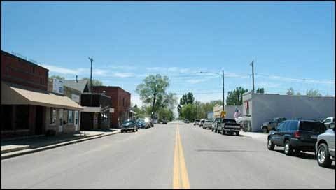
Platteville is a Statutory Town in Weld County, Colorado, United States. The population was 2,485 at the 2010 census. It is adjacent to Fort Vasquez on U.S. Highway 85.
Contents
- Map of Platteville CO 80651 USA
- Egg 2 xcel energys fort st vrain bald eagles platteville colorado 02 17 10 delivers egg 2
- History
- Geography
- Demographics
- Annual cultural events
- References
Map of Platteville, CO 80651, USA
Egg 2 xcel energys fort st vrain bald eagles platteville colorado 02 17 10 delivers egg 2
History
Platteville was founded on May 27, 1871, and was incorporated on January 1, 1887. The town was named for its location on the Platte River.
Geography
Platteville is located at 40°12′52″N 104°49′27″W (40.214468, -104.824070).
The town is situated along the east bank of the South Platte River at the intersection of U.S. Highway 85 and State Highway 66.
The Fort St. Vrain Generating Station, originally a nuclear power plant and now operating as a natural gas powered electricity generating facility operated by Xcel Energy, is approximately one-quarter-mile northwest of Platteville.
According to the United States Census Bureau, Platteville has a total area of 2.527 square miles (6.54 km2), all of it land.
Demographics
As of the census of 2010, there were 2,485 people, 951 households, and 935 families residing in Platteville. The population density was 1,606.5 people per square mile (618.3/km²). There were 819 housing units at an average density of 555.1 per square mile (213.7/km²). The racial makeup of Platteville was 73.84% White, 0.55% Native American, 0.30% Asian, 0.17% Pacific Islander, 22.24% from other races, and 2.91% from two or more races. Hispanic or Latino of any race were 35.19% of the population.
There were 786 households out of which 45.4% had children under the age of 18 living with them, 61.6% were married couples living together, 10.1% had a female householder with no husband present, and 24.4% were non-families. 18.1% of all households were made up of individuals and 5.3% had someone living alone who was 65 years of age or older. The average household size was 3.02 and the average family size was 3.50.
The Platteville population was spread out with 32.8% under the age of 18, 9.7% from 18 to 24, 32.3% from 25 to 44, 18.7% from 45 to 64, and 6.5% who were 65 years of age or older. The median age was 30 years. For every 100 females there were 103.6 males. For every 100 females age 18 and over, there were 99.5 males.
The median income for a household in Platteville was $43,472, and the median income for a family was $47,574. Males had a median income of $34,048 versus $25,430 for females. The per capita income for Platteville was $15,802. About 6.9% of families and 8.7% of the population were below the poverty line, including 9.6% of those under age 18 and 5.5% of those age 65 or over.
Annual cultural events
Platteville celebrates the harvest season every August since 1910. The name of the harvest festival has changed many times over the years, and is currently called, simply, Harvest Daze.