
Country United States GNIS feature ID 0766343 Area 79.69 km² Population 416 (2000) | FIPS code 29-58124 Elevation 274 m Local time Tuesday 9:46 AM | |
 | ||
Weather 9°C, Wind NE at 23 km/h, 53% Humidity | ||
Platte Township is one of twelve townships in Buchanan County, Missouri, USA. As of the 2000 census, its population was 416.
Contents
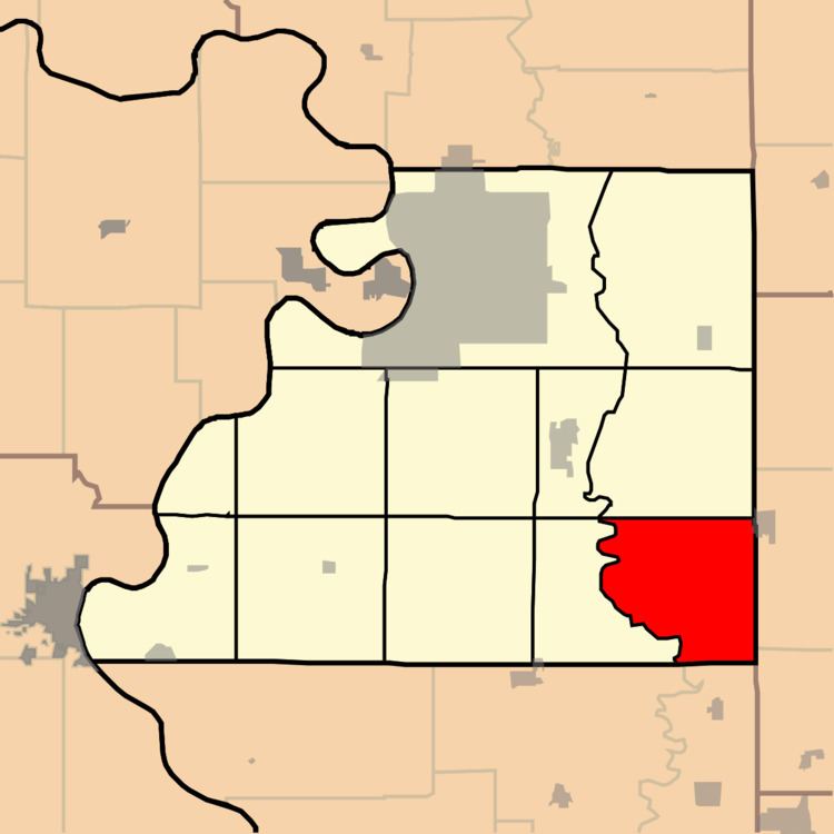
Map of Platte Township, MO, USA
Platte Township was established in 1839, taking its name from the Platte River.
Geography
Platte Township covers an area of 30.77 square miles (79.7 km2) and contains no incorporated settlements. It contains six cemeteries: Allen, Frazier, Hebron, Number 6, Tobin and Witts.
The streams of Belcher Branch, Castile Creek, Crabapple Branch, DeMoss Branch, Frazier Branch, Jenkins Branch, Malden Creek and Wolfpen Creek run through this township.
References
Platte Township, Buchanan County, Missouri Wikipedia(Text) CC BY-SA