
Country United States County Kane Time zone CST (UTC-6) Area 86.79 km² Local time Tuesday 9:24 AM | State Illinois Established November 6, 1849 Elevation 281 m Population 6,166 (2010) | |
 | ||
ZIP codes 60123, 60140, 60151, 60175 Weather 9°C, Wind N at 18 km/h, 46% Humidity | ||
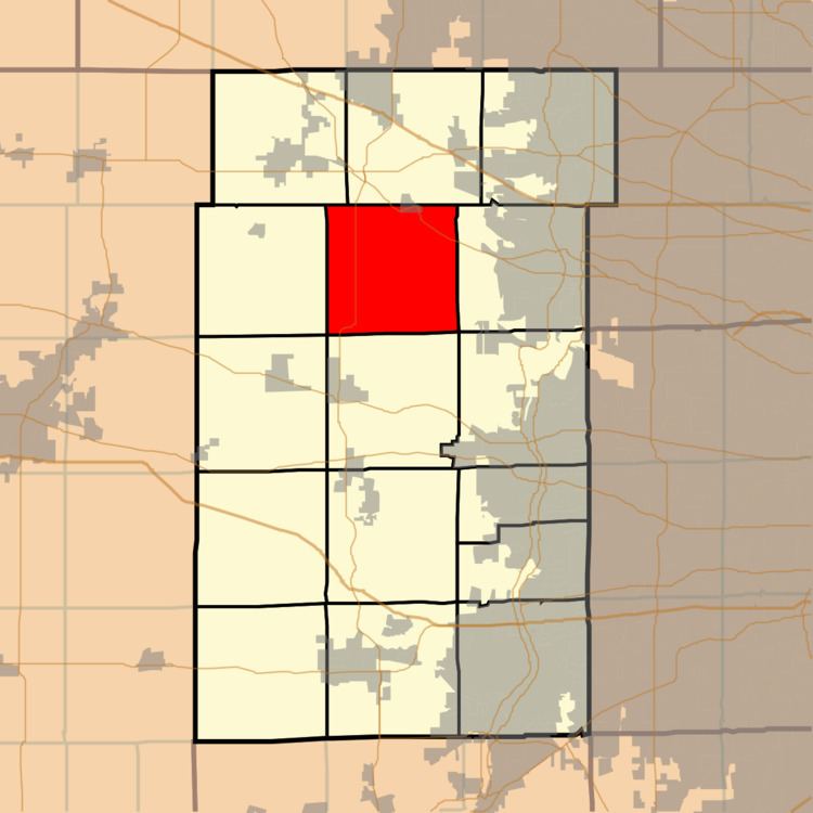
Plato Township is one of sixteen townships in Kane County, Illinois, USA. As of the 2010 census, its population was 6,166 and it contained 2,182 housing units. It was originally named Homer Township; the name was changed to Plato on July 2, 1850.
Contents
- Map of Plato Township IL USA
- Geography
- Cities towns villages
- Unincorporated towns
- Airports and landing strips
- Cemeteries
- Major highways
- School districts
- Political districts
- References
Map of Plato Township, IL, USA
Geography
According to the 2010 census, the township has a total area of 33.51 square miles (86.8 km2), all land.
Cities, towns, villages
Unincorporated towns
(This list is based on USGS data and may include former settlements.)
Airports and landing strips
Cemeteries
The township contains these five cemeteries: Plato Center, L R Baker, North Plato, Udina and Washington Memorial.
Major highways
School districts
Political districts
References
Plato Township, Kane County, Illinois Wikipedia(Text) CC BY-SA