
Country United States County Imperial County Local time Tuesday 5:15 AM | State California Elevation 32 m | |
 | ||
Weather 19°C, Wind W at 13 km/h, 32% Humidity | ||
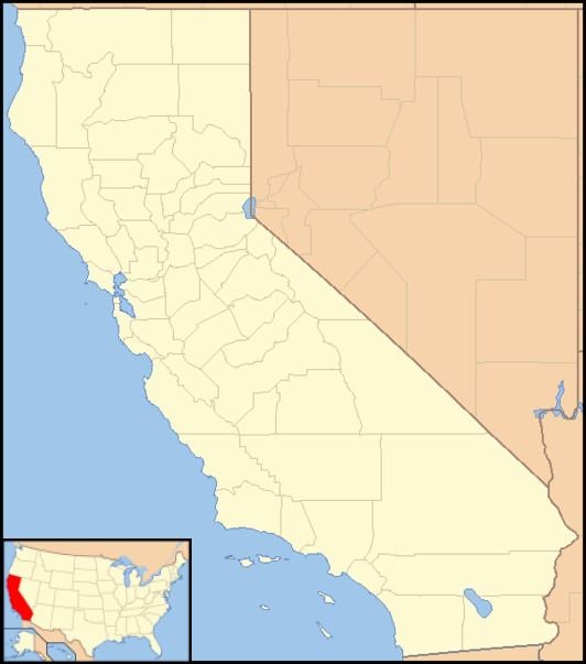
Plaster City is an unincorporated community in Imperial County in the U.S. state of California. It is located 17 miles (27 km) west of El Centro, at an elevation of 105 feet (32 m).
Contents
Map of Plaster City, CA 92251, USA
United States Gypsum operates a large gypsum quarry and plant there and owns the town. Plaster City has been noted for its unusual place name. It is the site of the last industrial narrow gauge railroad in the United States. The 3 ft (914 mm) gauge line runs north to a gypsum quarry and brings gypsum from the quarry to the plant.
Plaster City is located at 32°47′33″N 115°51′31″W west of El Centro, California.
The first post office at Plaster City opened in 1924.
The ZIP Code is 92251. The community is inside area code 760.
Government
In the California State Legislature, Plaster City is in the 40th Senate District, represented by Democrat Ben Hueso, and the 56th Assembly District, represented by Democrat Eduardo Garcia.
In the United States House of Representatives, Plaster City is in California's 51st congressional district, represented by Democrat Juan Vargas.
Publicity and Media
In the 1963 film, It's a Mad, Mad, Mad, Mad World, Ethel Merman's character is heard talking on a phone to her son, saying that she was "in some place called Plaster City."
Plaster City was briefly, in 1993, the locale of the fully restored Eureka Locomotive, one of the last narrow gauge steam locomotives from the height of railroad development in the West.