
Time zone BRT/BRST (UTC-3/-2) | Elevation 944 m (3,097 ft) Area 2,539 km² | |
 | ||
Microregion Entorno do Distrito Federal | ||
Planaltina is a city located in the center of the state of Goiás, Brazil. Planaltina is often referred to as Planaltina de Goiás, but in official documents it is called Planaltina.
Contents
- Map of Planaltina State of GoiC3A1s Brazil
- Location and Geography
- Economy
- History
- Planaltina or Planaltina de Gois
- Health and education
- References
Map of Planaltina - State of Goi%C3%A1s, Brazil
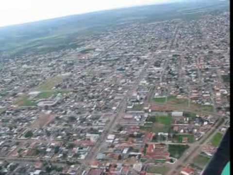
Location and Geography
Planaltina is part of micro-region 12 of the state, the so-called Entorno do Distrito Federal. It borders Água Fria de Goiás, Formosa, Mimoso de Goiás, Padre Bernardo and, the Distrito Federal.
It is located on the northeastern boundary of the Federal District north of the satellite city of Planaltina, DF. It is 273 kilometers from the state capital Goiânia and 55 km (34 mi). from Brasília.
Planaltina is the gateway to an enormous area of ecological preservation, in which can be found the important Chapada dos Veadeiros national park. Nearby is Lagoa Formosa, which, with its 17 square kilometers of surface area, is the largest natural lake in the state of Goiás. Also nearby is the source of the Maranhão River, which flows north into the Tocantins
The population is very poor and there is a serious deficit in infrastructure with no hospitals and poor commercial facilities. Most of the inhabitants work in Brasília and spend hours on buses to get to their work. According to studies, at least one member of each family works in Brasília. The per capita income is from one to two minimum salaries.
Economy
The economy is based on agriculture (soybeans (9,000 hectares in 2006), corn, manioc and citrus fruits), cattle raising (62,000 head in 2006), services, public administration (1,328 workers in 2003), and small transformation industries. In 2007 there were 02 financial institutions.
Agricultural data 2006
History
Planaltina had already become a municipality in 1981, but with the installation of the Federal District in 1960 it lost part of its territory, including the municipal seat. As a consequence a new city had to be built, which for some time was called Brasilinha. The traditional Planaltina became a satellite city of Brasília.
The site chosen for the new Planaltina was the farmhouse Brasília belonging to Joaquim Gonçalves, known as Joaquim Mineiro. In 1967 the city hall was built and it was given the name Planaltina after a plebiscite carried out in the same year.
The early years were similar to those of the development of Brasília, with the cerrado being cleaned and wooden shacks being put up. The similarity with Brasília was such that people would say "they are building a little Brasília, a Brasilinha, thus baptizing the new city.
The first plan envisioned 22 thousand lots that would each house 5 persons. In fewer than 30 years the population had reached 80 thousand inhabitants. Much of the population explosion came about because of the construction of Brasília. A massive migratory wave came to the federal capital and there was no space in the original plan. The military government at the time would not allow these families to squat on federal lands and sent the excess population to Planaltina.
Planaltina gave up most of its territory including its municipal seat to form the new Federal District, but never received any indemnification for this loss. See History of Planaltina
Planaltina or Planaltina de Goiás?
There is a certain amount of confusion about what the name of the city is. In the IBGE/Seplan statistics it is listed as Planaltina. In Telelistas it is called Planaltina de Goiás but has Planaltina as the name in the webpage. See Telelistas-Planaltina. On the Portuguese version on Wikipedia the article is titled "Planaltina" but the table refers to "Planaltina de Goiás". Just to confuse matters more the Prefeitura calls itself "Planaltina". See Planaltina.go.
Health and education
Municipal Human Development Index: 0.723 (medium classification)