
London borough Bromley Country England Postcode district BR1 | Region London Sovereign state United Kingdom Ceremonial county Greater London | |
 | ||
Population 15,122 (2011 Census. Plaistow and Sundridge Ward) | ||
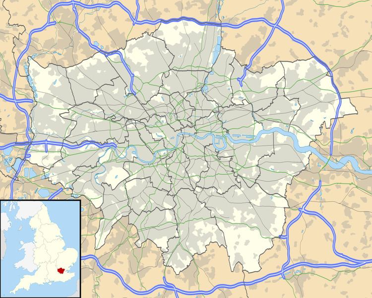
Plaistow (/ˈplɑːstoʊ/ PLAHST-oh, /ˈplæstoʊ/ PLAST-oh, or /ˈpleɪstoʊ/ PLAYST-oh) is a locality in the London Borough of Bromley, bordered by the London Borough of Lewisham to the north. It is within the Bromley post town and the BR postcode area. The main road in Plaistow Green is Burnt Ash Lane, part of the A2212 road which runs north to south between Grove Park and Bromley.
Plaistow was still countryside in the 1860s, when Bromley was still part of the county of Kent. Housing development began after the arrival of the railway. St Mary’s Church was consecrated in 1863 and enlarged three times between 1881 and 1900. The churchyard closed for burials in 1893 when Plaistow Cemetery opened.
References
Plaistow, Bromley Wikipedia(Text) CC BY-SA